
這是歷史版本頁面 — 看 GeoServer 最新版本
GeoServer 2.8.1
 GeoServer 2.8.1
資料更新 2015-11-19
下載與官方連結
geoserver-2.8.1.exe · 61.95 MB · 連結指向軟體原廠
版本紀錄
- 2023-05-06 GeoServer 2.22.3
- 2022-09-21 GeoServer 2.21.1
- 2022-09-20 GeoServer 2.20.6
再看 5 筆
- 2021-07-22 GeoServer 2.19.2
- 2021-03-23 GeoServer 2.19.0
- 2021-01-20 GeoServer 2.18.2
- 2020-11-23 GeoServer 2.18.1 102.29 MB
- 2020-09-25 GeoServer 2.18.0 101.95 MB
這一版改了什麼
What's new in this version:
- Multidimensional GRIB / NetCDF / NetCDF Output modules promoted to extension
- Fixed query parameters in SLD external graphic
- Fixed legend preview with SLD external graphic
- Fixed multiline labels in PDF WMS request with translation
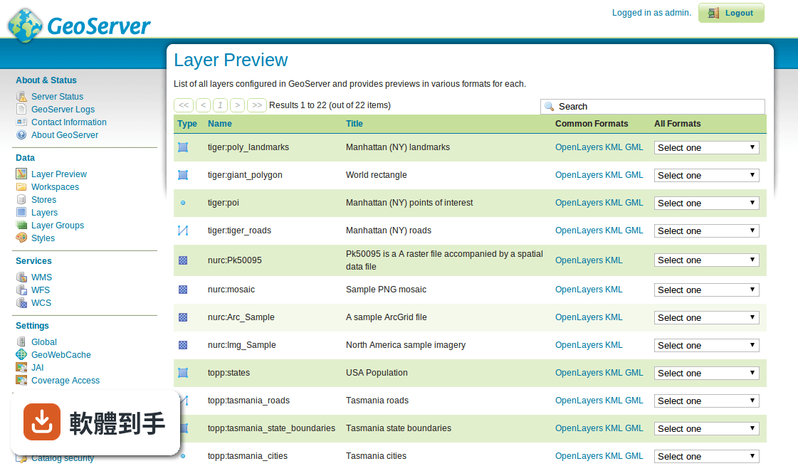
- Fixed layer preview GML links for app-schema layers
- Fixed JMS clustering to use qualified names for layers, layer groups, and styles
- Avoid catalog linear scans in GWC integration listeners
- Fixed OpenLayers preview with the authkey module enabled
Bug:
- Empty filter causes IndexOutOfBoundsException
- RESTConfig "styles" list does not get generated if a style is missing its associated sld file
- Creating SQL Views via RESTConfig as JSON fails
- externalGraphic with relative path and query parameters problem
- Multiline Labels are not properly displayed when a translation is applied to a pdf WMS Request
- Layer Security - Catalog Mode
- WCS 2.0.1 can build BoundedBy with wrong axis order
- WCS 2.0.1 can send coverage in wrong format
- JSON totalFeatures can be wrong with spatial filters in WFS 1.1.0
- New layerGroup via REST ignores styles in a workspace
- Documentation on REST "Resource reset" with errors
- Preview of external graphics in SLD style
- WMS 1.1 Capabilities document does not match DTD - missing Title in style
- Geofence integrated server extension
- Default GML links in Layer Preview page do not work for app-schema layers
- gs:DownloadEstimator should check size is less than Integer.MAX_VALUE
- Render (or transform) fails on Multipolygon but not on polygon
- Proposals section refers to wrong Links
- Maven Cobertura plugin does not work
- JMS based cluster should use qualified names for Layers and Layergroups
- Migration WFSDataStore geoserver 2.4 to 2.8 fails
- JMS Clustering should prefix Styles names with workspace
- Avoid catalog linear scans in GWC integration listeners
- GDAL WCS output format fails to encode gray/alpha images in Geospatial PDF
- OpenLayers preview does not work if authkey community module is enabled
- Using on the fly meta tiling in WMS request may result in rendered images not being disposed of
- NETCDF Z index load errors
- RawDataPPIO does not close InputStreams it opens
- GeoTiffPPIO can return the source file of a processed coverage
Task:
- Document GetFeatureInfo on layergroup
- GSIP-134 - Promote multidimensional modules (GRIB,NetCDF) to Extension
- Fix explicit dependency to joda-time 2.2
Improvement:
- WCS should force usage of imageread
- Features counted twice for WFS queries with GeoJSON responses
- Add scaling support to WPS gs:Download process
- Defer bounds calculation during import